3.1. Introduction to GISLite#
3.1.1. Brief introduction#
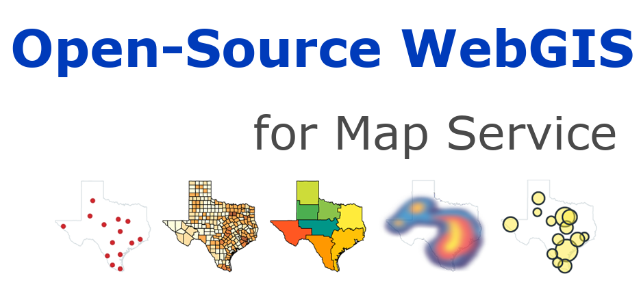
GISLite is an application that publishes GIS data in the form of static websites based on open source GIS technologies (including MapServer, MapProxy, Leafet). The purpose is to solve the problem of data update, style modification, and the application of different style combinations when publishing a large number of maps. Try to make the data source unique and use XLSX files to define styles. It mainly realizes the publishing of GIS data layers, but also realizes the function of publishing multi-source data to a single map slice and multiple layers to layer grouping.
In addition to re-establishing the original MapServer tutorial using Python, another important reason for the development of this website is to explain some technologies used in the development of GISLite. From another perspective, it can also be said that GISLite is a comprehensive application of the main open source GIS technologies described on this website. Apart from the introduction, this part is published based on the GISLite program and integrated into this website as a demo.
At present, GISLite has been registered and released in PYPI, and can be installed by the following command:
pip install gislite
Based on MapServer, MapProxy
Define styles using the open spreadsheet format XLSX
It can be used for rapid release and management of team geographic information data.
Open source code, released on Github.
3.1.3. Technical background website#
Technically, the development of GISLite mainly uses Python and open source GIS technology to read data. Integrate with the open source WebGIS introduced on this website.
“Python and Open Source GIS”, a tool for reading and processing GIS data using Python.
A basic introduction to MapServer, MapProxy and Leaflet.
